Part of a series of posts by Neil Cownie on The Future of Swanbourne Village
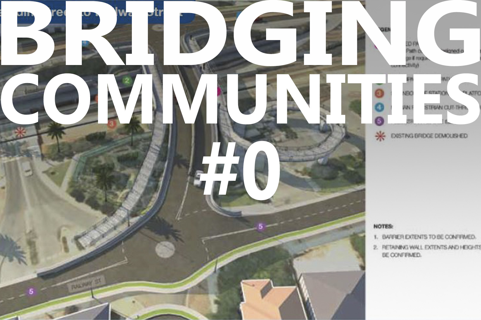
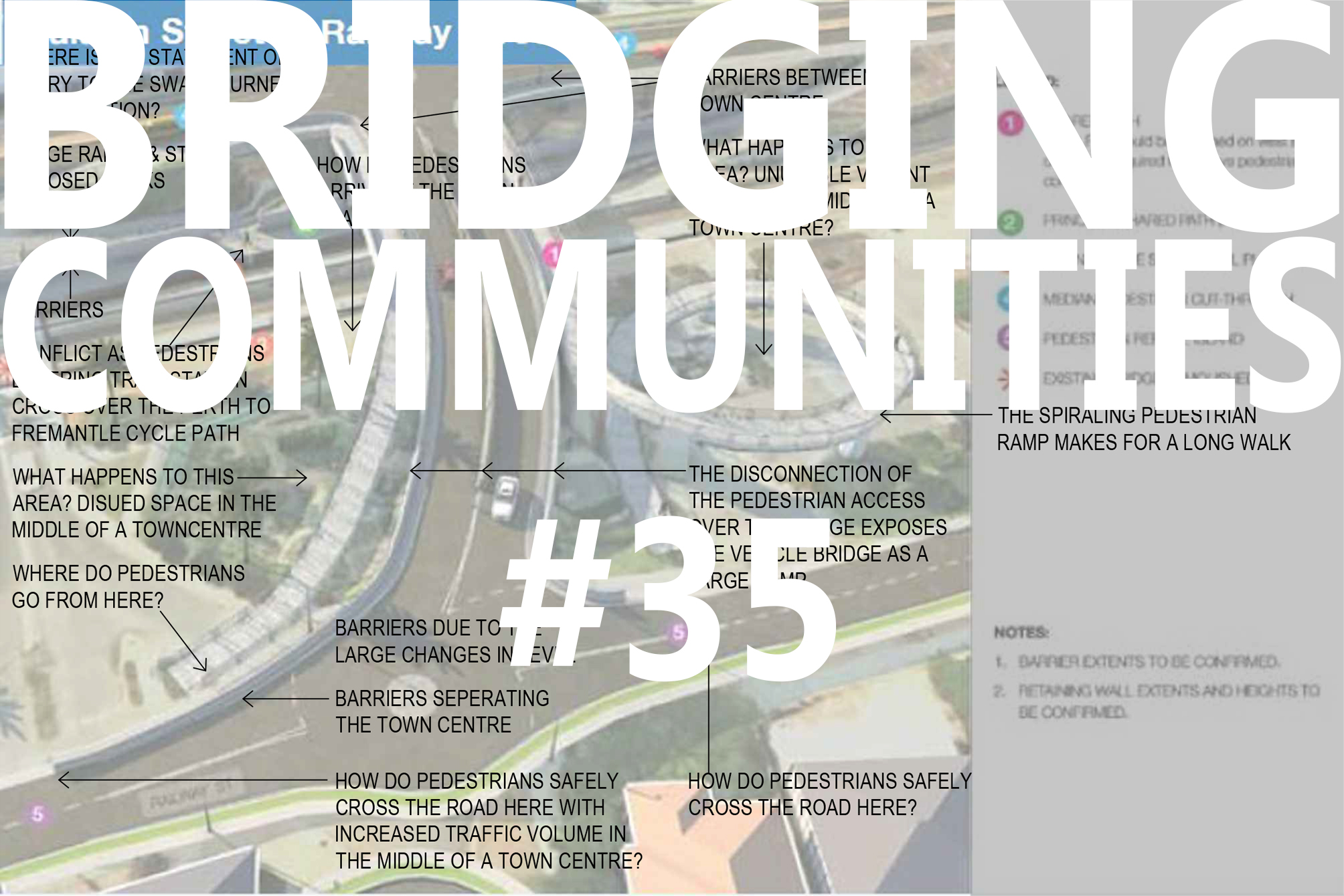
This is an image as prepared by Main Roads Western Australia (MRWA) of the proposed replacement traffic bridge adjacent to the Swanbourne Village. MRWA were given the task by the State Government of replacing the 100-year-old traffic bridge located centrally within the Swanbourne Village. The replacement bridge location seems to efficiently serve the purposes of vehicle traffic, as one would anticipate when led by the MRWA.
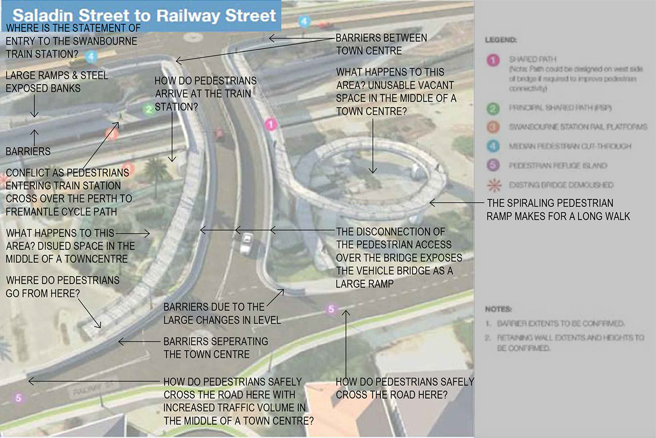
There are many other factors other than simply vehicle traffic to be considered in order to make the work of MRWA successful with such a replacement bridge. To me the MRWA image of the proposed bridge leaves more questions than answers and the location falls between the multiple authorities of the Town of Claremont, The Town of Cottesloe, MRWA & Public Transport Authority (PTA).
Note the proposed pedestrian accessways across the proposed replacement bridge and how they ‘break away’ from the vehicle bridge to ramp down to the lower ground levels on the Railway Street side of the bridge. These pedestrian ramps evidence the dramatic height difference between the lower ground levels and the bridge itself. Is there a better way to facilitate pedestrian and bicycle movement from one side of the bridge to the other?
Also note the large extent of concrete barriers to the sides of the vehicle entries to the bridge. These concrete barriers restrict and channel pedestrian movement. Do we really want to see utilitarian barriers through the centre of the Swanbourne Village centre?
How do pedestrians safely cross the road when the flow of vehicle traffic has been made more efficient through such a replacement bridge without any indication of improving pedestrian safety?
Note the large change in level to the north side of the train line (Claremont Crescent side) were pedestrian ramps have been indicated from the street level down to the station platform level. This does not only look unsightly, but pedestrians are also required to walk across the Fremantle to Perth cycle path in order to access the station platform. This creates a potentially dangerous situation where a high volume of pedestrians accessing the train station are in conflict with the ‘bicycle freeway’ from Fremantle to Perth. How can this be better resolved?
The train station itself remains anonymous, without any statement of entry on both sides of the railway line. There is no indication at all about how community would access the train station on the southbound side of the train line. Should such a scheme for development not address the important issue of access to the train station in parallel?
Note the large areas of disused land where the Dawsons Garden centre currently exists and where the existing bridge is proposed to be closed. What happens to this redundant land?
In the posted information to follow, I shall demonstrate what can be achieved with a holistic design led approach to the master planning of the Swanbourne Village centre. A vision for the future that incorporates the demands of all authorities, local businesses, and the local community.
Go back to the The Future of Swanbourne Village
The Bridging Communities Series
- #0 The Precinct - Swanbourne Bridge
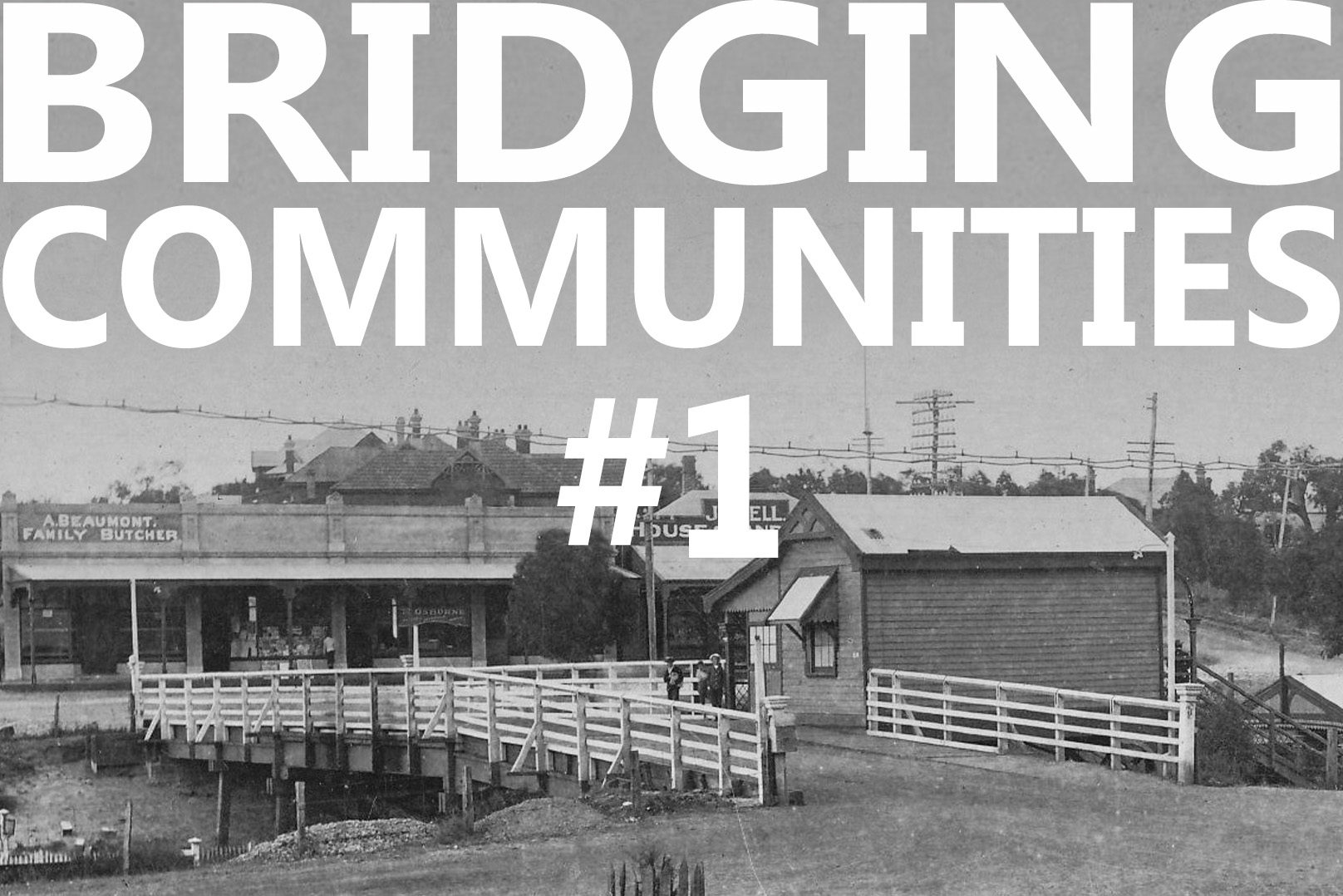
- #1 Old Swanbourne Bridge
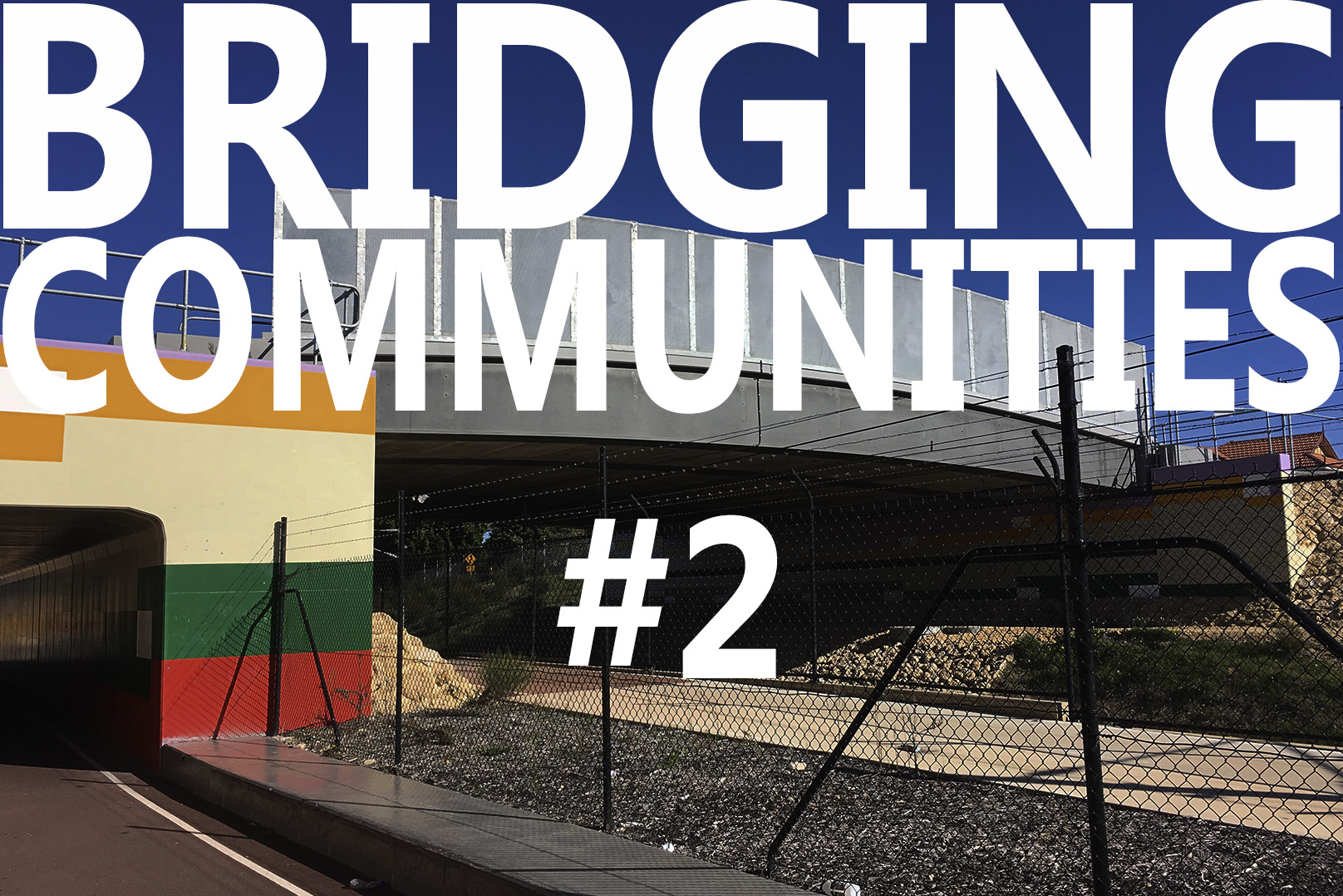
- #2 Third Avenue Bridge
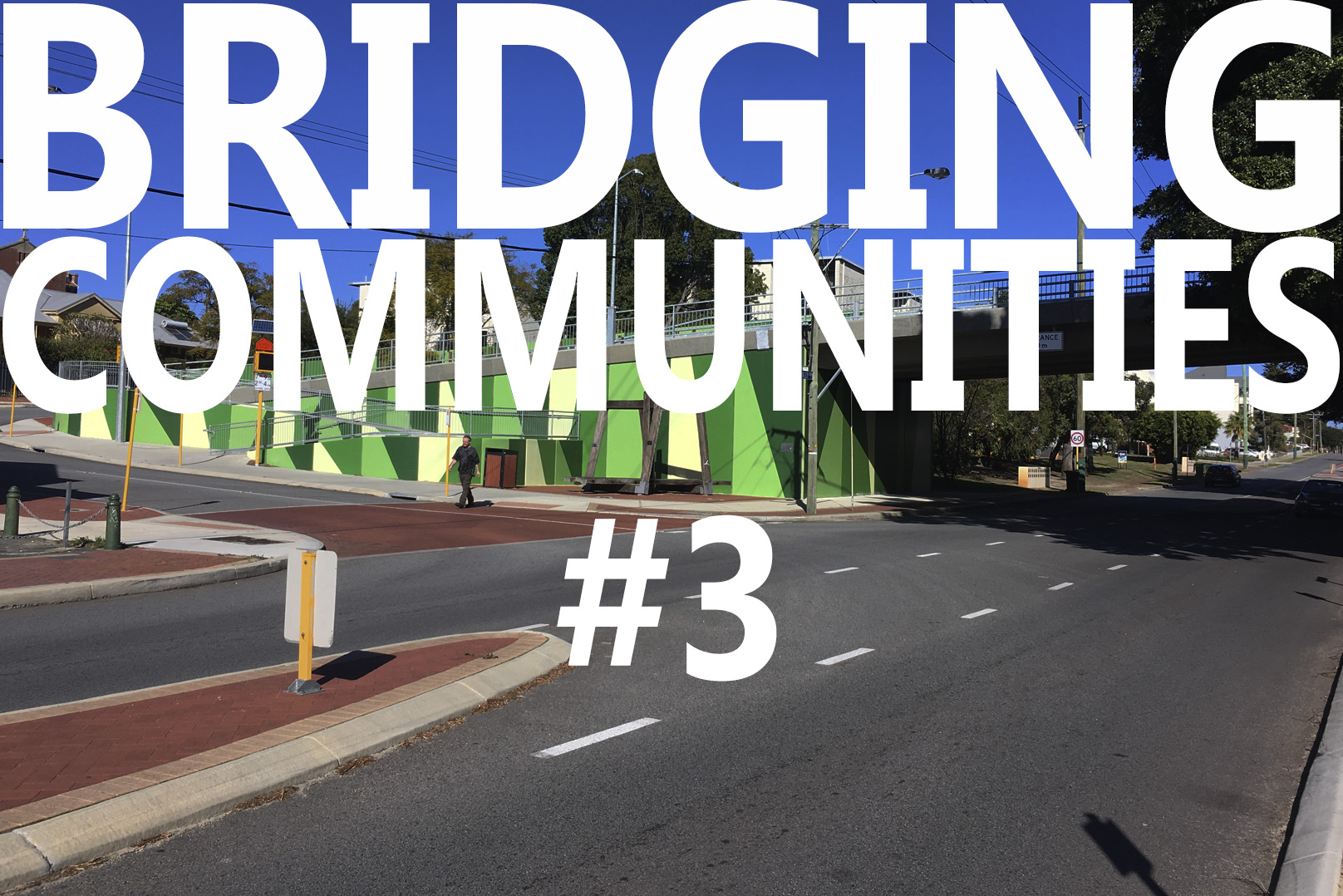
- #3 Seventh Avenue
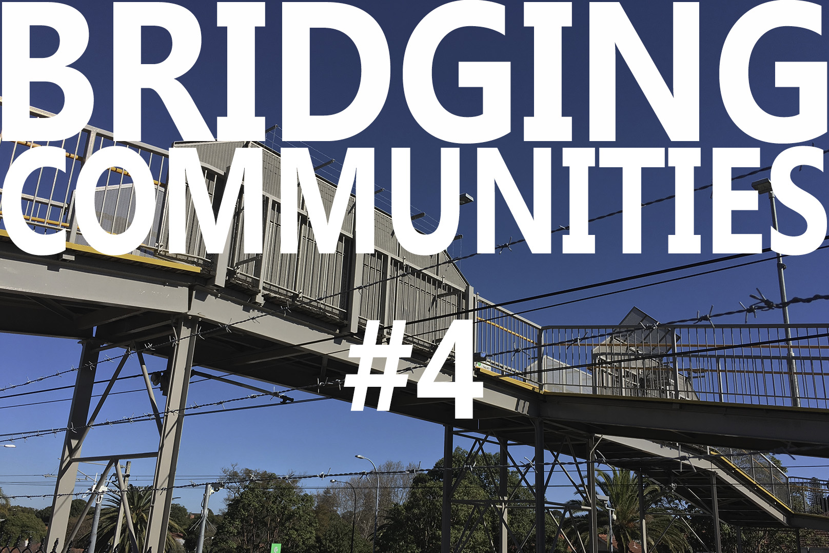
- #4 Mt Lawley Station Bridge
- #5 Swanbourne Aboriginal History
- #6 Swanbourne European History
- #7 Swanbourne Hotel
- #8 Koombana Bay Bridge
- #9 BIG Bridge Copenhagen
- #10 Circle Bridge Copenhagen
- #11 Tulhus Bridge - Erik Andersson
- #12 RV73 Bridge - Erik Andersson
- #13 The Architect Bridge - Erik Andersson
- #14 Ruyi Bridge - China
- #15 Cork Ireland Bridge - O'Donnell + Tuomey Architects
- #16 Bat Bridge - Next Architects
- #17 Leederville & Claremont Bridges
- #18 Dawson's Garden Centre
- #19 Swanbourne Village
- #20 Cottesloe Central Bridge
- #21 Showgrounds Bridge
- #22 Art Overlays
- #23 Swanbourne Village - Parameters - Levels
- #24 Swanbourne Village - Parameters - Community Hub
- #25 Swanbourne Village - A Better Way
- #26 Swanbourne Village – Call in the Cavalry
- #27 Sydney Light Rail Bridge
- #28 Hamilton Street Bridge, Subiaco
- #29 Compare the Pair
- #30 Opportunity not a Barrier
- #31 Rose Garden Bridge
- #32 Somers Town Bridge
- #33 Swanbourne Village – Original Bridge
- #34 Bayswater Bridge
- #35 Main Roads WA Scheme
- #36 NCA Scheme – The Big Picture
- #37 NCA Scheme – Master Plan
- #38 NCA Scheme – Relocated Dawsons Garden Centre
- #39 NCA Scheme – New Built Form
- #40 NCA Scheme – A New Community Pedestrian Bridge
- #41 NCA Scheme – Proposed Train Station Precinct
- #42 NCA Scheme – Swanbourne Village Market Day
- #43 NCA Scheme – Pedestrian environment
- #44 NCA Scheme – Cultural overlay
- #45 NCA Scheme – Centre of Excellence for a Sustainable Future
- #46 NCA Scheme – An Alternative Pedestrian Bridge Design