Part of a series of posts by Neil Cownie on The Future of Swanbourne Village
With the design of any new object, that object can provide relevance and meaning beyond its purely utilitarian purpose. Bringing additional meaning through the incorporation of relevant references in design can bring connection to people beyond what would otherwise be the case.
When considering the precinct of Swanbourne Village, we can first look backwards to the areas history and influences over time before, before moving forward in the master planning of the area and the specifics of the design of a replacement bridge.
There will be influential aspects through the entire history of the area that have influenced the outcome of what we currently experience in the area.
So just how far back should we go when considering the history of the site of the Swanbourne Village bridge? It would seem reasonable to at least go back beyond white settlement as the site was undoubtably traversed by Aboriginal people. The region would have been traversed between hunting excursions between the swamplands of Lake Claremont, the Swan River and the coast.
From the State Heritage WA website:
‘Prior to European settlement the locality of Swanbourne and the wider district of Claremont was known as Mooro and was associated with aboriginal people of the Whudjuck Nyungar group’.
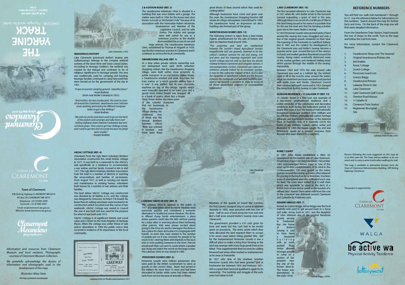
The Town of Claremont website offers some insight into the general history of the precinct, including the Yargine Track Map with illustrations by Mary Yates. Note that Yargine is the Nynugar word for turtle. The map provides an overview of points of historic interest through Swanbourne as it outlines a 4.5km self-guided walk.
From the Yargine Track Map:
“Lake Claremont (previously known as Butler’s Swamp by the early settlers and as Galbamaanup by the aboriginal people) belongs to the complex wetland systems of the Swan River & coastal plains.
According to Nyungar tradition, the wetland was created by the Waugal and continues to be of religious significance to the Nyungar people. The area was traditionally used for camping and hunting. Nyungar families continued to camp there until they were moved on by the Government of the day in 1951.”
From the Town of Claremont website:
“Lake Claremont, then a freshwater swamp also had shell fish, tortoises, frogs and reed rhizomes for damper and other bush food like Zamia nuts as well as paperbark resources to use to build shelters.”
From the Town of Claremont website:
“The Nyungar Aboriginal peoples knew Claremont as a place of plentiful spring water, good fishing and abundant waterfowl. The British felt almost at home – its gently undulating landscape mirrored in the clear waters of the Swan River. In 1830, John Butler, recently arrived from Liverpool, speculated on its commercial qualities. It was at Freshwater Bay, halfway between Perth and Fremantle, that he set up his inn, attracting travellers on the road connecting the two anchor communities of the Swan River Colony. From these humble beginnings Claremont quickly established itself into one of the most well recognised suburbs of Perth, Western Australia, whilst maintaining its village atmosphere. People moved across the country seasonally and thee was contact with the people of the Murray River area.”
Such records of the precincts links with an indigenous history give us an opportunity celebrate this link in now looking forward to the future of the Swanbourne Village precinct and plans for a replacement bridge.
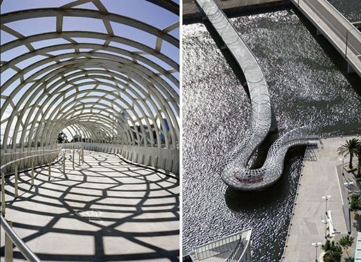
Clearly there were historic pathways between Lake Claremont, the Indian Ocean and the Swan River as the Aboriginal people moved seasonally between food sources. These pathways could be reflected in the design of a new bridge in our current day to day pathways across the railway line.
Photos from Museum WA website. (Lake Monger 1923 & Western Mail December 1907)
Go back to the The Future of Swanbourne Village
The Bridging Communities Series
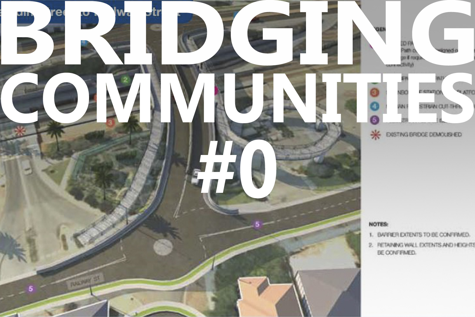
- #0 The Precinct - Swanbourne Bridge
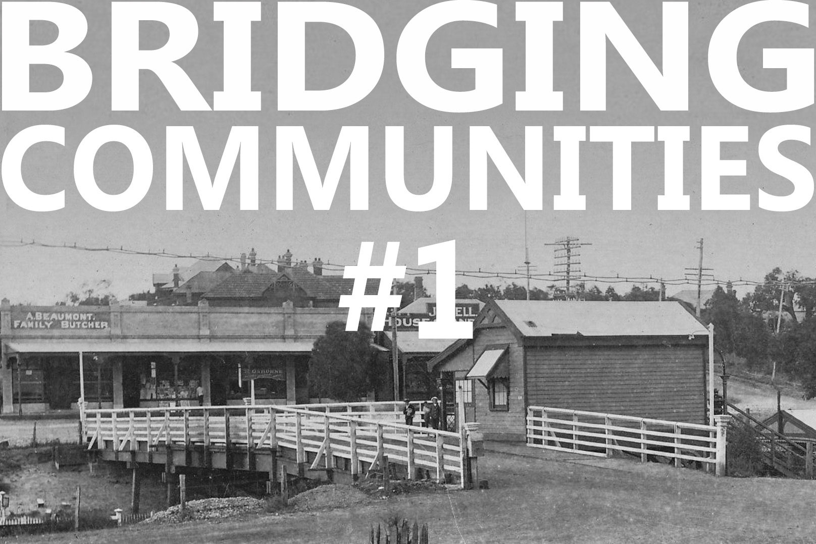
- #1 Old Swanbourne Bridge
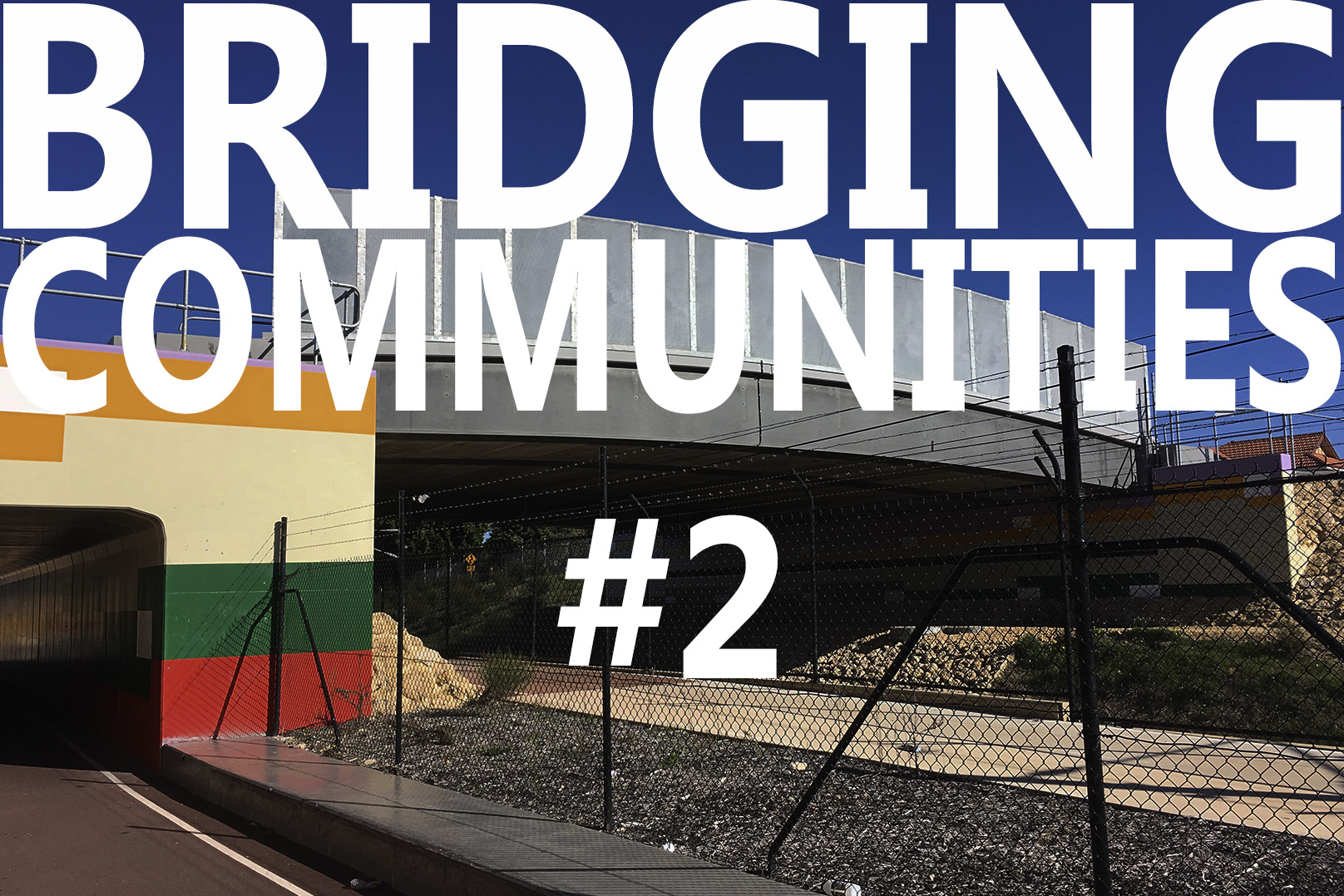
- #2 Third Avenue Bridge
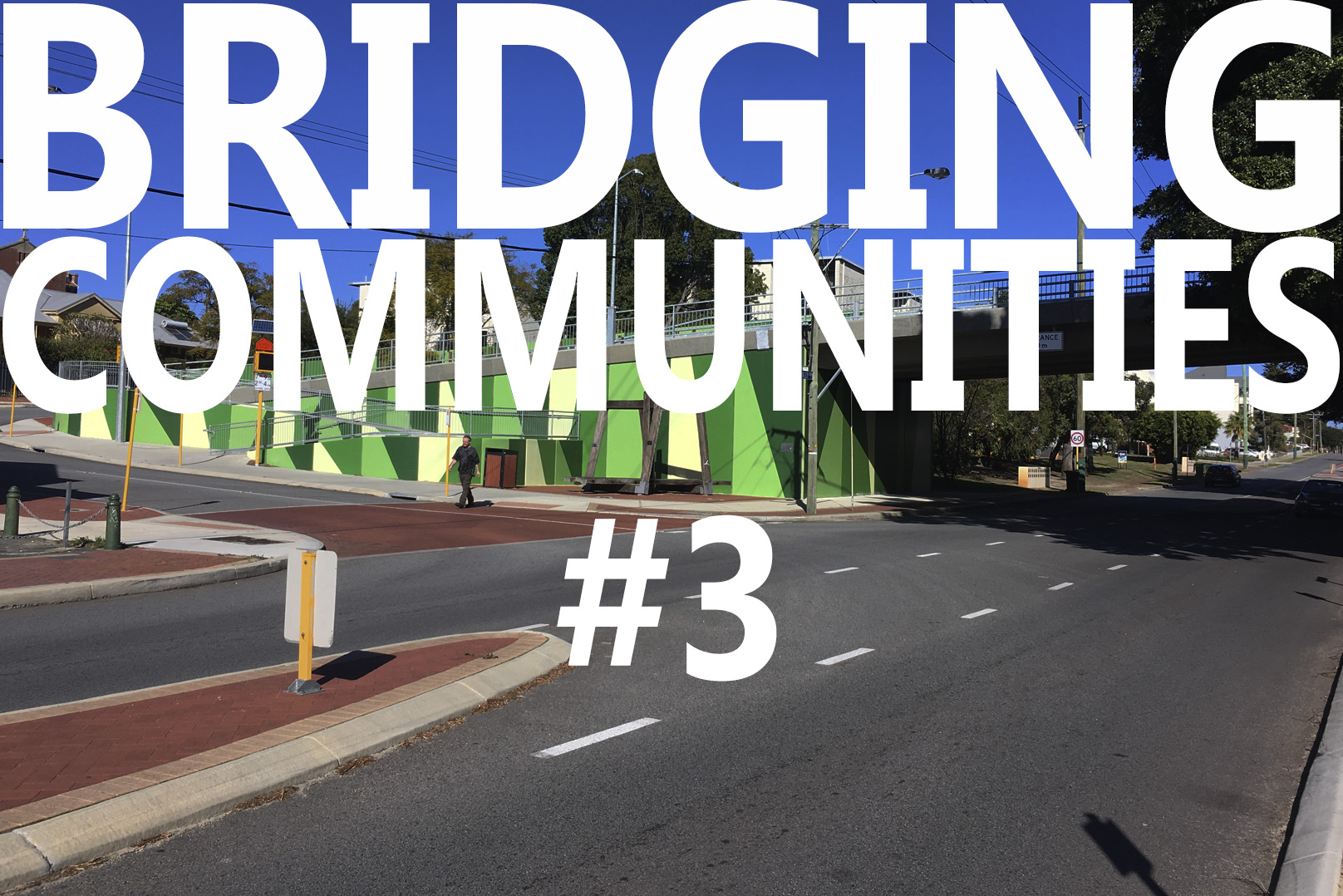
- #3 Seventh Avenue
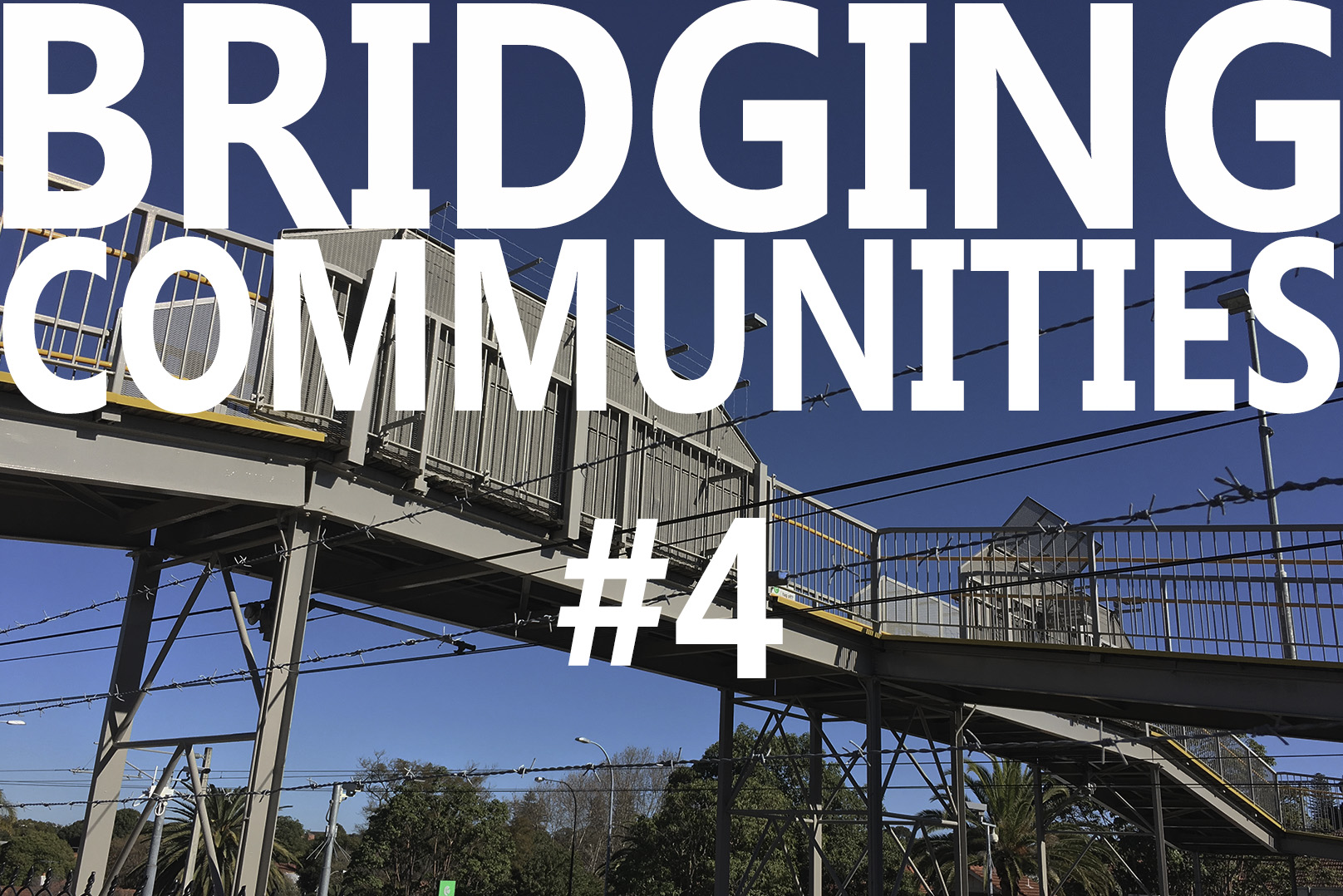
- #4 Mt Lawley Station Bridge
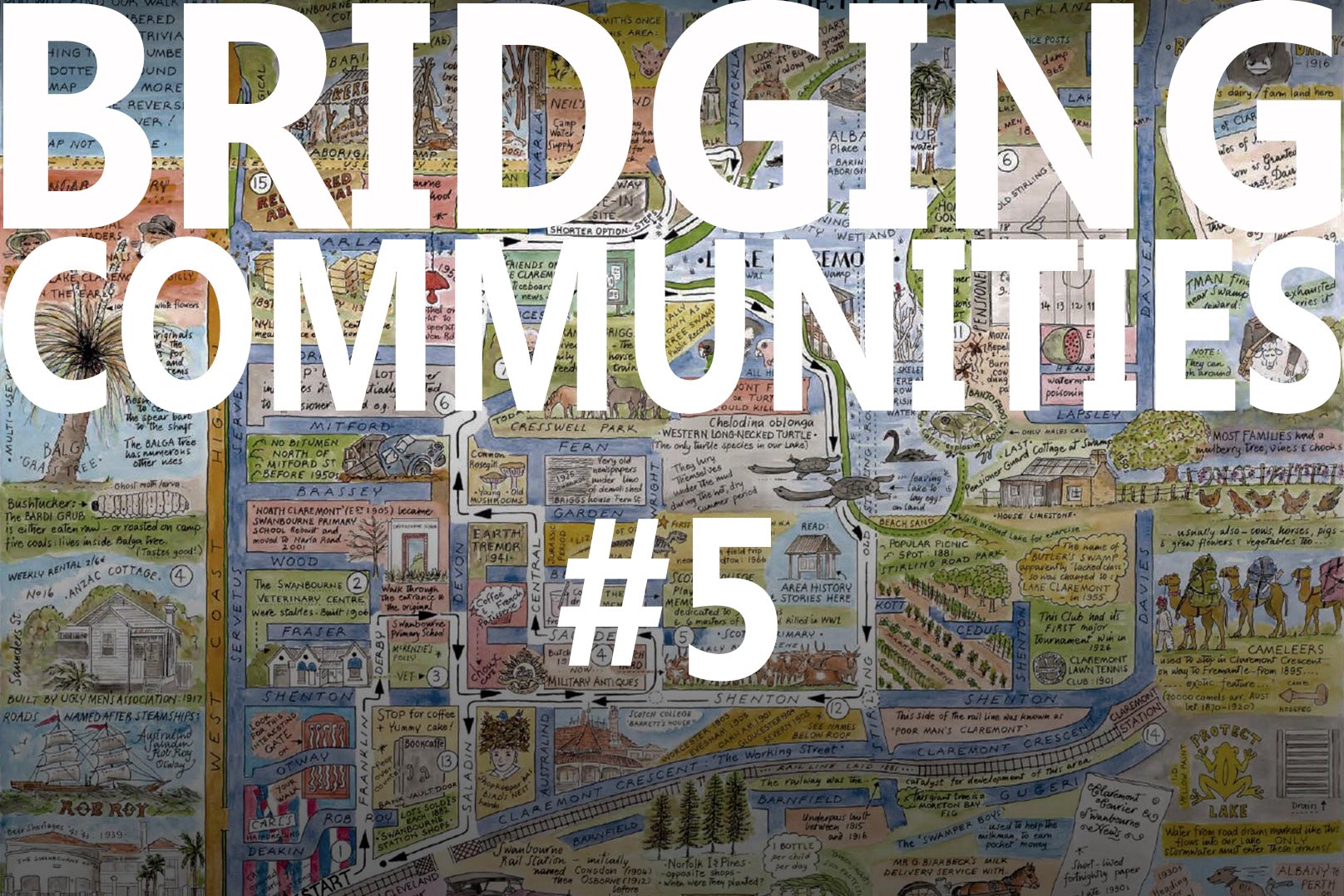
- #5 Swanbourne Aboriginal History
- #6 Swanbourne European History
- #7 Swanbourne Hotel
- #8 Koombana Bay Bridge
- #9 BIG Bridge Copenhagen
- #10 Circle Bridge Copenhagen
- #11 Tulhus Bridge - Erik Andersson
- #12 RV73 Bridge - Erik Andersson
- #13 The Architect Bridge - Erik Andersson
- #14 Ruyi Bridge - China
- #15 Cork Ireland Bridge - O'Donnell + Tuomey Architects
- #16 Bat Bridge - Next Architects
- #17 Leederville & Claremont Bridges
- #18 Dawson's Garden Centre
- #19 Swanbourne Village
- #20 Cottesloe Central Bridge
- #21 Showgrounds Bridge
- #22 Art Overlays
- #23 Swanbourne Village - Parameters - Levels
- #24 Swanbourne Village - Parameters - Community Hub
- #25 Swanbourne Village - A Better Way
- #26 Swanbourne Village – Call in the Cavalry
- #27 Sydney Light Rail Bridge
- #28 Hamilton Street Bridge, Subiaco
- #29 Compare the Pair
- #30 Opportunity not a Barrier
- #31 Rose Garden Bridge
- #32 Somers Town Bridge
- #33 Swanbourne Village – Original Bridge
- #34 Bayswater Bridge
- #35 Main Roads WA Scheme
- #36 NCA Scheme – The Big Picture
- #37 NCA Scheme – Master Plan
- #38 NCA Scheme – Relocated Dawsons Garden Centre
- #39 NCA Scheme – New Built Form
- #40 NCA Scheme – A New Community Pedestrian Bridge
- #41 NCA Scheme – Proposed Train Station Precinct
- #42 NCA Scheme – Swanbourne Village Market Day
- #43 NCA Scheme – Pedestrian environment
- #44 NCA Scheme – Cultural overlay
- #45 NCA Scheme – Centre of Excellence for a Sustainable Future
- #46 NCA Scheme – An Alternative Pedestrian Bridge Design